
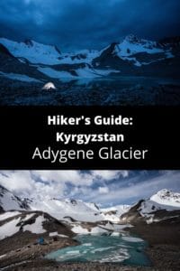
Kyrgyzstan: Adygene Glacier Loop
Кыргызстан: Ледник Адыгень
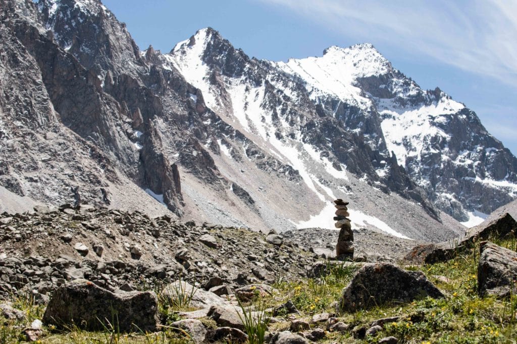
The Adygene Glacier Loop is a beautiful alternative to the more popular trekking routes inside Ala Archa National Park – a small but picturesque glacial lake and variety of both trekking and climbing peaks make this under-explored side of the park great for travellers looking to expand their horizons in one of the most popular destinations for trekking in Kyrgyzstan.
Total Km: 20km
Total Days: 2
Elevation Gain/Loss: 1556m+ / 1556m-
Start Point: Ala Archa Adygene Parking
End Point: Ala Archa Adygene Parking
GPS Files
While the Adygene Glacier Loop can be physically demanding, picking up nearly 1600m of vertical elevation in just over 10km, the path itself is generally quit easy to follow until it begins to cross the moraine of the Adygene Glacier. Expect green mountain pastures, regular access to water, a fairly high chance of seeing wildlife, and plenty of trekking peaks around if you’d like to extend the hike a few days more.
Adygene Glacier Loop Stage 1
Total Km: 10km
Walking time: 8h
Total time: 10h
Elevation Gain/Loss: 1556m+ / 37m-
The Adygene Glacier Loop starts at a small parking lot around one kilometer north of the main Ala Archa Alplager area – if you arrive at the A-Frame Alplager Hotel you’ll have gone too far, turn back down the main road and look for the poorly-signed parking area to the left/west. The GPS track linked here starts from the small pedestrian bridge at the bottom of the parking area.
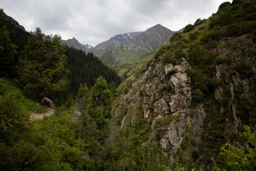
The trail starts with a brief meander through the forests on the far side of the river, a popular area among local visitors for picnicking where you’ll undoubtedly smell a fair bit of shashlyk cooking on a summer weekend. A fair few small trails wind through here – it doesn’t matter much which you follow as long as you’re headed through the woods towards the obvious rise on the far side. Around .7km from the bridge, you should already be atop this small rise and at a junction of two paths. The left hand path climbs directly to the Ala Archa Climbers’ Cemetery, which we’ll visit on the return route from Adygene, so for the moment follow the right-hand path as it drops down to the northwest towards the Adygene River.
Crossing the Adygene River
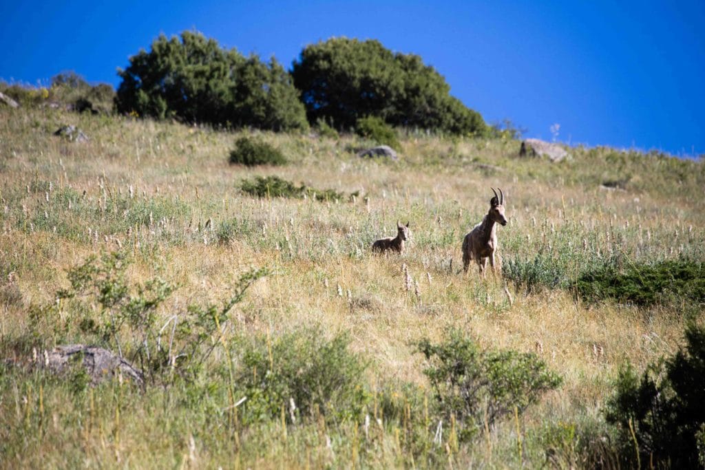
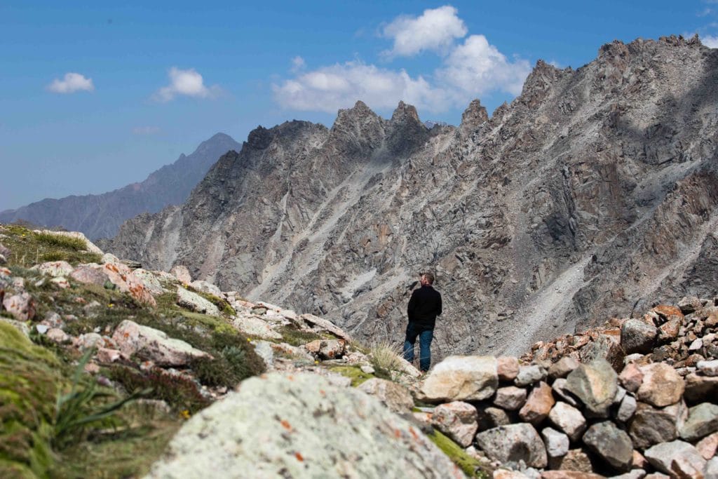
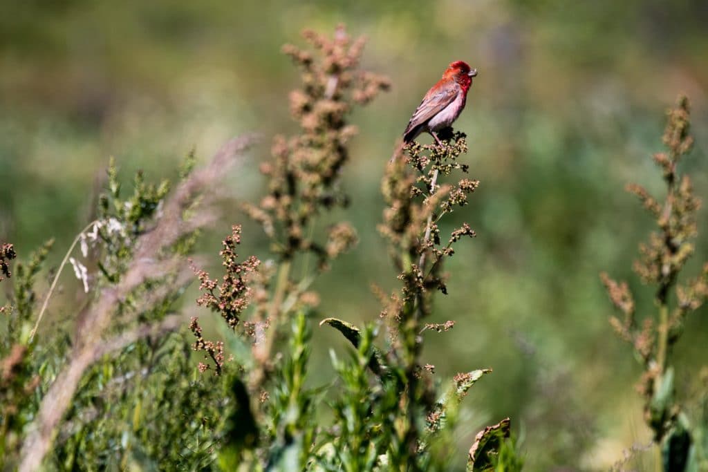
Look for the small ‘bridge’ crossing the river here, then follow the trail along the opposite bank until it doubles back upon itself to begin climbing the hillside. Right on the border of Ala Archa’s highly-trafficked areas and the wilderness beyond, this section is a common area to see ibex or other local wildlife. While it’s possible to hike directly on the small ridge here that overlooks the Adygene River, we prefer the stream bed to the north as it tends to maintain a much more gradual slope and provide some small protection from the wind on a blustery day. In springtime, this area is often awash with wildflowers as well.
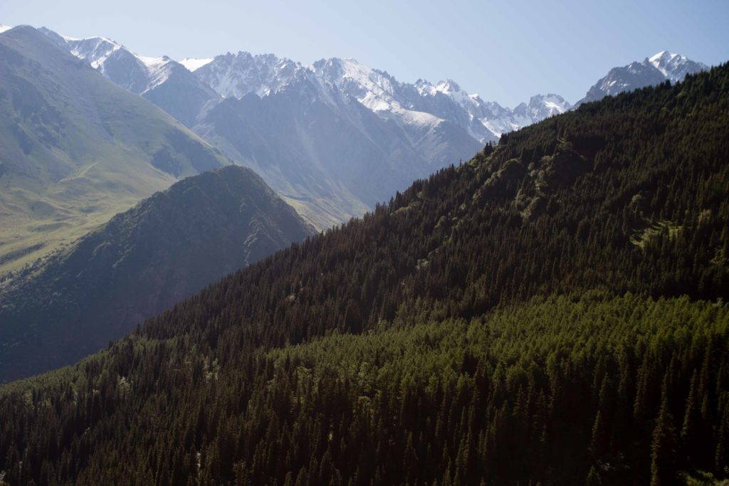
Eventually, the trail will have climbed high enough that the peaks of the Ak Sai Ridge to the east start to appear over the next hill, a lovely alternate angle on some of the more iconic peaks in the popular Ala Archa National Park.
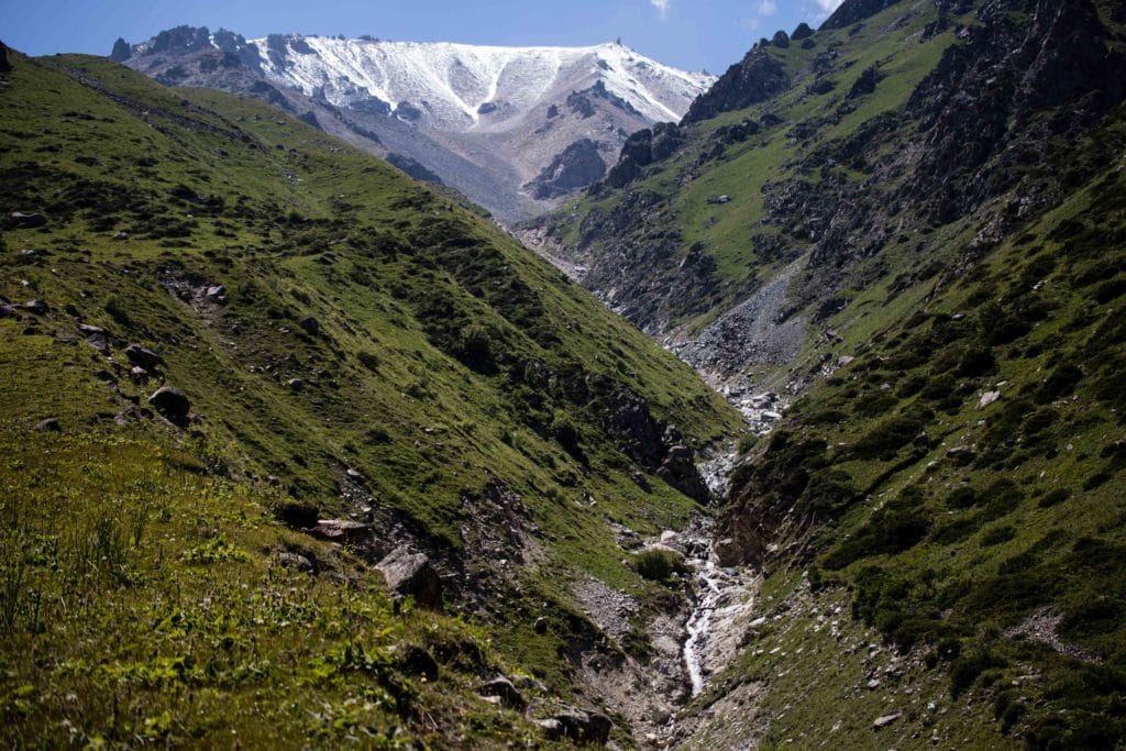
Roughly 3km into the day, the trail drops down to cross the first of several side streams. Back up the opposite side, the path carries on for about half a kilometer until crossing another, this one necessitating a somewhat sloppy descent down a scree slope to the streambed itself, though the climb back up the opposite bank is on surer footing.
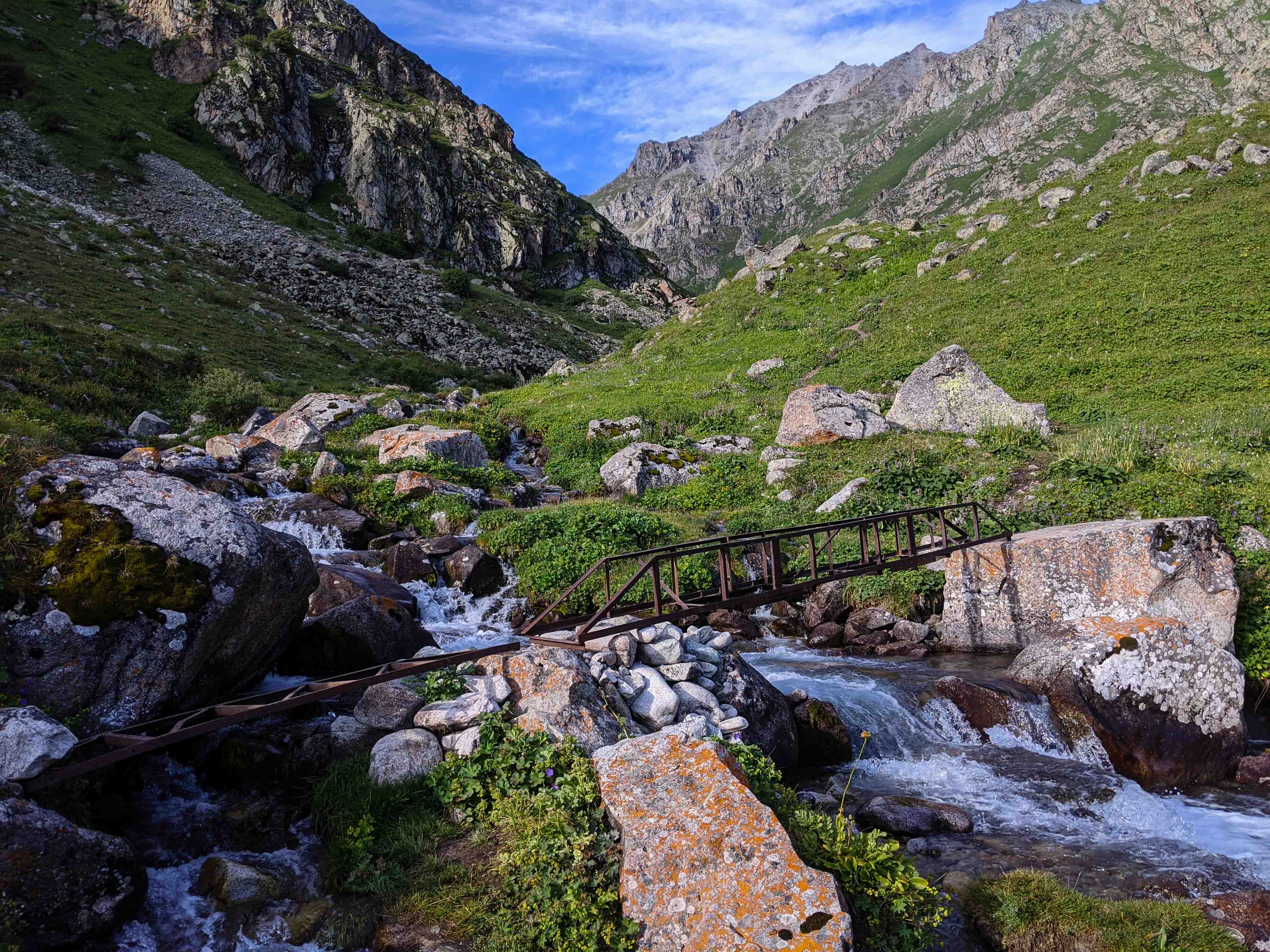
Tez Tor Valley
This small side valley, marked on old Soviet maps as Tez Tor, is the first of several possible side hike options, to climb the 4244m peak of the same name. This is also the turn-back point for the shorter Adygene Valley Loop trail, which crosses the comically-old metal bridge over the stream here before descending back to the Ala Archa Alplager area – we’ll take this route on our own return, but not today!
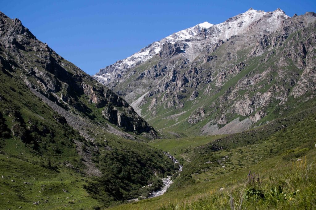
Assuming you’re not camping here for a climb up Tez Tor peak, carry on up the valley along the west side of the river, on a trail that remains a very gentle slope for the next three kilometers or so and passes several other decent tent campsites along the way.
Camp Elektro and Peak Elektro
The hike through the Adygene Valley ends with two short but steep climbs in pretty rapid succession, the second of which has one notably exposed section where you would do well not to linger due to the very regular presence of falling rocks from both side. Just below 3500m asl, the trail levels out briefly at a small clearing with the tiniest of running streams – this is Camp Elektro. This marks the base for the second popular side-hike option, the 4079m Peak Elektro. While we haven’t overnighted at this campsite, it has every indication of being constantly buffeted by winds that come down from the eponymous peak and the Adygene Glacier, and we don’t expect you’ll spend a particularly comfortable night here if you do choose to put up camp.
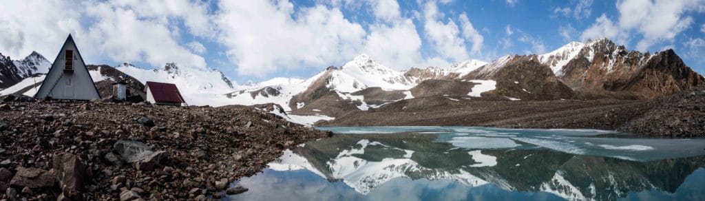
Adygene Glacier and Meteorological Station
Just opposite the campsite, the Adygene Glacier Loop Trail climbs the moraine of the glacier and then carries on across the top to end at the Adygene Meteorological Station. As with most moraines, there’s not an entirely clear path across – look for rock cairns wherever you can find them but also pay attention to staying roughly ‘on top’ of the moraine as it trends SSW and then curves towards the SE towards the end. You’ll glimpse the bright blue roof of the Meteo Station long before you get there, so mark the general area in your mind and continue to head in that direction if you lose track of the rock cairns that attempt to mark the way.
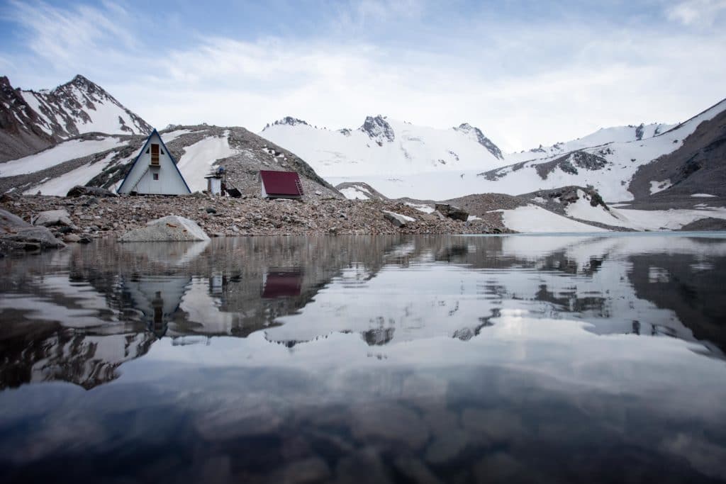
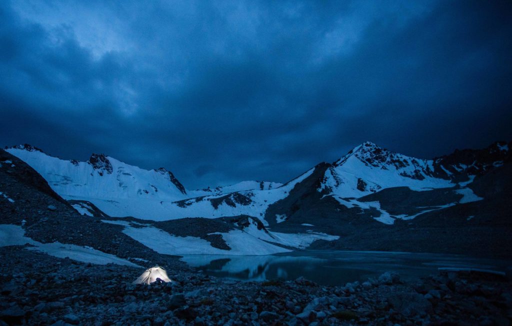
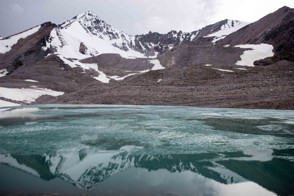
Just before arriving to the Meteo Station, the trail climbs a small rise with excellent views of the Adygene Glacier, the small lake below, and the extraordinary surrounding peaks.
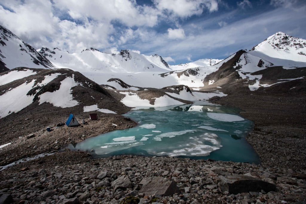
The Meteorological Station is inhabited part-time by scientists that monitor the glacier and lake to attempt to predict and prevent a catastrophic damn breakage that would flood Bishkek and the smaller villages that lie along the Ala Archa River below. Just beyond the station are three small tent sites that have been trampled down enough to make a comfortable sleeping platform – and the lakefront views are of course unbeatable.
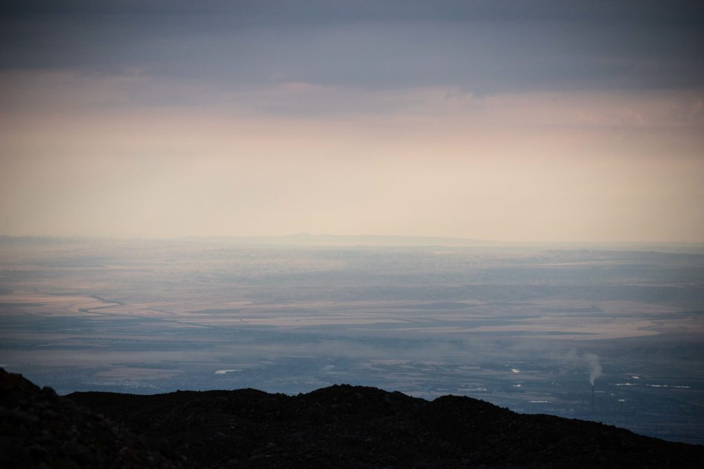
Alpinists sometimes use this as a base to ascend the peaks surrounding the Adygene Glacier, including the imposing bulk of 4360m Peak Adygene off to the west tucked behind Elektro. These are serious climbing peaks, so if you’ve not come prepared you’ll have to remain content with admiring them from down below. Around sunset, after enjoying the golden light on the peaks and glacier, make sure to walk back behind the Meteo station for a moment to appreciate the sunset views over the Chuy Valley and Bishkek far below.
Adygene Glacier Loop Stage 2
Total Km: 10km
Walking time: 4h
Total time: 4h
Elevation Gain/Loss: 37m+ / 1556m-
The descent from Adygene Glacier back to the Ala-Archa Alplager retraces the ‘path’ over the glacier and then down the Adygene Valley all the way to the dodgy bridge at Tez Tor. From here, cross the bridge carefully to the far bank of the Adygene River and then continue downwards on the far hillside along the obvious paths.
After about one and a half kilometers the trail dives into a forest, first a stand of fragrant juniper trees (the ‘archa’ for which Ala-Archa is named) then then a mixed forest with lots of sun cover but very few views out to the surrounding peaks. Roughly one kilometer (and 200m of vertical) further on, the trail passes alongside the metal gate of a small cemetery. Stop here for a moment at the main gate.
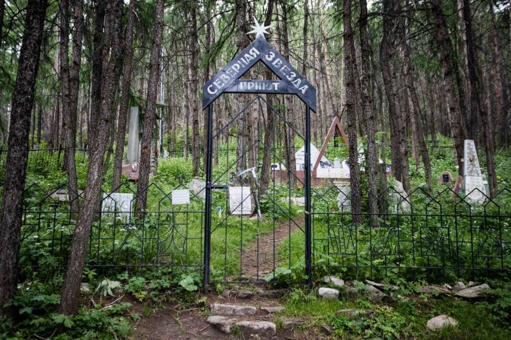
Ala-Archa Alpinist Cemetery
Ala-Archa has long been a popular hiking and climbing destination, and was used in the Soviet period as a training ground for alpinists from across the USSR. This small cemetery is dedicated to those who lost their lives in climbing accidents within the park – those who can read Russian would be well-advised to spend a bit of time here reading through the various monuments, but even non-speakers should be impressed by the solemnity and beauty of the site.
From the cemetery, it’s only another kilometer or so down to the Ala Archa Valley and the parking lot trailhead – where hopefully you’ve arranged a ride back to Bishkek to celebrate the hike!
Alternate Options for Adygene Glacier Loop
As discussed in the Stage One description, there are several possible side-hikes along the Adygene Valley to climb trekking peaks en route to the main glacier. Peak Elektro is probably the most popular of these, while Tez Tor is another good possibility a little further down the valley. Both are doable as dayhikes for strong trekkers, though of course there are a wealth of good campsites as well for those that wish to make a longer experience of the trip or to attempt several of these during the same outing.
Good To Know
The entry fees for Ala-Archa National Park seem to go up every year or two – at the time of research the cost was now 500 KGS per vehicle entering the park. While it is possible to get to the area on public transport, as detailed below, the last long stretch between the entrance to the park and the actual trailhead really pushes visitors towards just arranging their own transportation.
The Adygene Glacier Loop is conceivably possible in all seasons, but will require real winter hiking skills from sometime in September or October until at least May or June depending on the season. The hike is best in late spring into mid-summer, when the paths are free of snow but some wildflowers linger on in the middle valleys.
Getting to the Adygene Glacier Loop
Ala Archa National Park is quite close to the city of Bishkek, Kyrgyzstan’s capital. There is a public marshrutka #265 that leaves from near Osh Bazaar, but at worst it stops in the village of Kashka-Suu and at best at the National Park gate – from where it’s still around 11km to the Adygene trailhead.
Easiest for day-hikers is to rent a car for both the dropoff and pick-up, though this does mean you’ll be somewhat tied to a schedule. Alternatively, hire a car from Bishkek (from 700som, plus the park entrance fee) to drop you off in the morning and then plan on hitching a ride back down either to Kashka-Suu (for the marshrutka) or Bishkek to return. If you take this route, try to time the end of your trip for a Saturday or Sunday afternoon, when there’s considerably more traffic to and from the city.
Where to Stay and Eat
While most visitors either come as a dayhike from Bishkek or camp at elevation in their own tents, there is a small Alplager hotel inside Ala Archa National Park where it would be possible to overnight as a base for this and other hikes in the park. It gets typically bad reviews, but was rumored to be under renovation as of 2020 and so perhaps will make for a more palatable option in future seasons.
I’m here now and they now have electric buses from the entrance gate to the trail head. For free ☺️
Yep, new development this year!